As GPS Signals Falter, the Real Blind Spot Is on the Ground
Satellite-navigation signals are being jammed and spoofed at record scale, and the disruption is no longer confined to aviation. SkySoft founder Nguyen Truong Giang says the millions of trucks, taxis and ships that quietly run on the same fragile signal are the part almost nobody is watching.
Almost everything that moves in a modern economy leans on a signal that is astonishingly faint. By the time a GPS transmission from roughly 20,000 kilometres up reaches street level, it is weaker than the Wi-Fi signal in an average living room, faint enough that a low-power transmitter costing a few hundred dollars can drown it out or, worse, quietly replace it. On top of that thread we have hung flights, shipping fleets, container trucks, ride-hailing apps, last-mile delivery, and the precise timing that banks and power grids depend on.
In 2026, that thread is being pulled harder than ever.
Aviation is where the alarm has been loudest. Industry tracking recorded more than 430,000 GNSS jamming and spoofing events in 2024, disrupting somewhere between 700 and 1,350 flights a day, according to figures compiled from international air-safety data. The International Air Transport Association says GPS signal-loss events rose by about 220 percent between 2021 and 2024, and its flight-data exchange now logs roughly 59 GPS-loss events per 1,000 flights, up from 31 in 2022. Benoit Figuet of SkAI Data Services, which maps interference on its GPSWise platform, estimates that around 900 flights a day are now affected worldwide.
The disruption is also spreading. Public tracking platforms show interference flaring across many parts of the world, and it has moved from the air into busy sea lanes: on a single day in February, more than 1,100 commercial ships reported GPS interference in one of the world's busiest maritime corridors. Pilots describe navigation displays that drift away from reality, showing false positions, false altitude warnings and phantom alerts, forcing crews to fall back on older, manual methods. Aviation-safety bodies stress that flying remains safe today, but warn that the trend raises the risk of serious incidents if it is left unchecked.
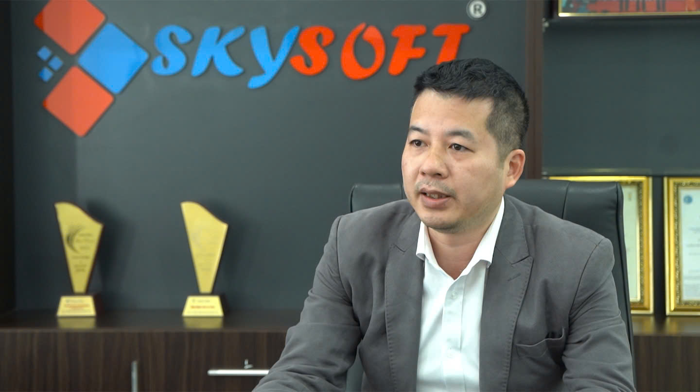
That story of planes and ships has made headlines worldwide. But there is a quieter front, far closer to everyday business: the millions of ground vehicles, logistics fleets, taxis and fishing boats running on exactly the same signal. To understand it, we spoke with Nguyen Truong Giang, founder and chief executive of SkySoft, a Hanoi-based company that has built GPS tracking hardware and fleet-management software for 16 years.
DailyTechWire: When people talk about GPS jamming, the conversation is almost always about planes and ships. As someone who works in ground-based positioning, what part of the picture is being missed?
Nguyen Truong Giang: The submerged part of the iceberg. Every time an airport has an incident, the whole world hears about it. But on the ground there are millions of vehicles, containers, fishing boats and pieces of heavy equipment quietly depending on the same signal, and almost no one calls that “critical infrastructure.” When a logistics fleet loses positioning, delivery schedules collapse, fuel-theft monitoring goes blind, and dispatch seizes up. It doesn’t generate a dramatic headline the way an aircraft does, but the cumulative economic damage is very real.
DailyTechWire: How exposed are commercial fleets in this region?
Nguyen Truong Giang: More than most people think. Public interference-tracking maps show that disruption isn’t limited to a few distant places. It shows up along busy shipping and air corridors, including ones close to Southeast Asia. Fleets here sit right beside those corridors, so freight vehicles, vessels and regional transport can pass through areas where the signal is being distorted. I don’t want to cause panic; this is a manageable risk. But “manageable” only holds true if we admit it exists and prepare now, instead of waiting for the first incident to happen to us.
DailyTechWire: In plain terms, how do jamming and spoofing differ for a transport business?
Nguyen Truong Giang: Jamming is “going silent”: the device loses the signal, the map freezes, and you know you’re blind. It’s a nuisance, but at least it’s visible. Spoofing is more dangerous: the attacker broadcasts a fake signal that convinces the device it is somewhere else. The vehicle “teleports” to false coordinates while the system reports everything as normal, which means a false journey log, false geofence alerts, false fuel data, and, most dangerous of all, you trust the wrong data. The hard part of spoofing is that you may realise you’re being deceived, but it’s very difficult to know where you actually are.
DailyTechWire: Technically, how can civilian positioning defend itself?
Nguyen Truong Giang: There’s no silver bullet; it’s layered defence. The devices we develop, whether journey-monitoring units or integrated camera systems (MDVR) fitted to buses, taxis, trucks, containers, ships and trains, use modern GNSS modules that support several satellite systems (GPS, Galileo, GLONASS and BeiDou) so that fixing a vehicle’s position doesn’t depend on a single constellation. That alone minimises the chance of a total signal loss or a large coordinate error. On top of that, our software runs filtering algorithms that automatically discard unstable data or readings that produce large errors over a short interval. And we can fall back on cell-tower data, using base-station Cell IDs both to reject positions that jump beyond a plausible radius and to approximate a vehicle’s location when the GPS signal is lost entirely. The philosophy has shifted: we used to ask only “how accurate is the signal,” and now we also have to ask “can this signal be trusted.”
DailyTechWire: You mentioned drawing on several satellite systems. Why does that matter so much?
Nguyen Truong Giang: Because relying on a single system is a single point of failure. There are now four independent global satellite-navigation systems in operation, built and run by different operators, and from a pure engineering standpoint, the more independent sources a device can draw on, the harder it is for any one disruption to knock it offline. For us this is simply about redundancy, the same principle as keeping a backup generator. A position you can still trust when one source drops out is worth far more than a slightly more precise one that vanishes the moment there’s interference.
DailyTechWire: So what should the industry and regulators do now?
Nguyen Truong Giang: Three things. One, make jam- and spoof-resistance a standard requirement for devices, rather than treating it as a premium feature. Two, build interference-monitoring and alerting capacity. The technology to detect jamming with low-cost sensor networks already exists; the missing ingredient is the will to deploy it. Three, train people: drivers, dispatchers and ship captains need to recognise the signs of a distorted signal and know the procedure when it happens. Technology is only half of it; the other half is process and awareness.
DailyTechWire: Looking five years out, where is civilian positioning heading?
Nguyen Truong Giang: I think we’re at the biggest turning point since GPS opened up for civilian use. The next generation of positioning won’t rely only on medium-orbit satellites. Low-earth-orbit (LEO) constellations are being tested to deliver stronger, harder-to-jam, more accurate signals, especially in cities where conventional reception is patchy. Further out there are quantum clocks, new inertial navigation, and ground-based systems as backup layers. For a company like ours, the future isn’t about selling “a dot on a map”; it’s about selling certainty: a position the customer can trust even when the sky is full of noise.
The most invisible infrastructure is becoming the most vulnerable. For decades, satellite navigation was a free gift from the sky that the entire economy took for granted. In 2026, the opposite lesson is sinking in: when a signal can be silenced or bent by a cheap, pocket-sized transmitter, the ability to keep operating when it disappears is no longer a problem for airlines alone. It is fast becoming a question every fleet operator on the ground will have to answer.
About Nguyen Truong Giang
Nguyen Truong Giang is the founder and chief executive of SkySoft (Skysoft Online Technology JSC), a Vietnamese positioning-technology company. He has led the firm since its founding in 2010, building it from a GPS-software provider into a domestic designer and manufacturer of vehicle-tracking hardware and fleet-management platforms.
About SkySoft
Founded in 2010 and headquartered in Hanoi, SkySoft is one of Vietnam’s leading GPS and positioning-technology companies. It designs and manufactures its own vehicle-tracking hardware under the Skybox and Navibox brands, along with fleet-management software, for commercial fleets ranging from buses and taxis to trucks, containers and vessels.