How AI Forecasting Could Cut Aviation's Hidden Climate Cost
A 30-month trial over the Atlantic will test whether machine-learning models can help planes dodge the atmospheric conditions that produce warming contrails.
The Invisible Footprint
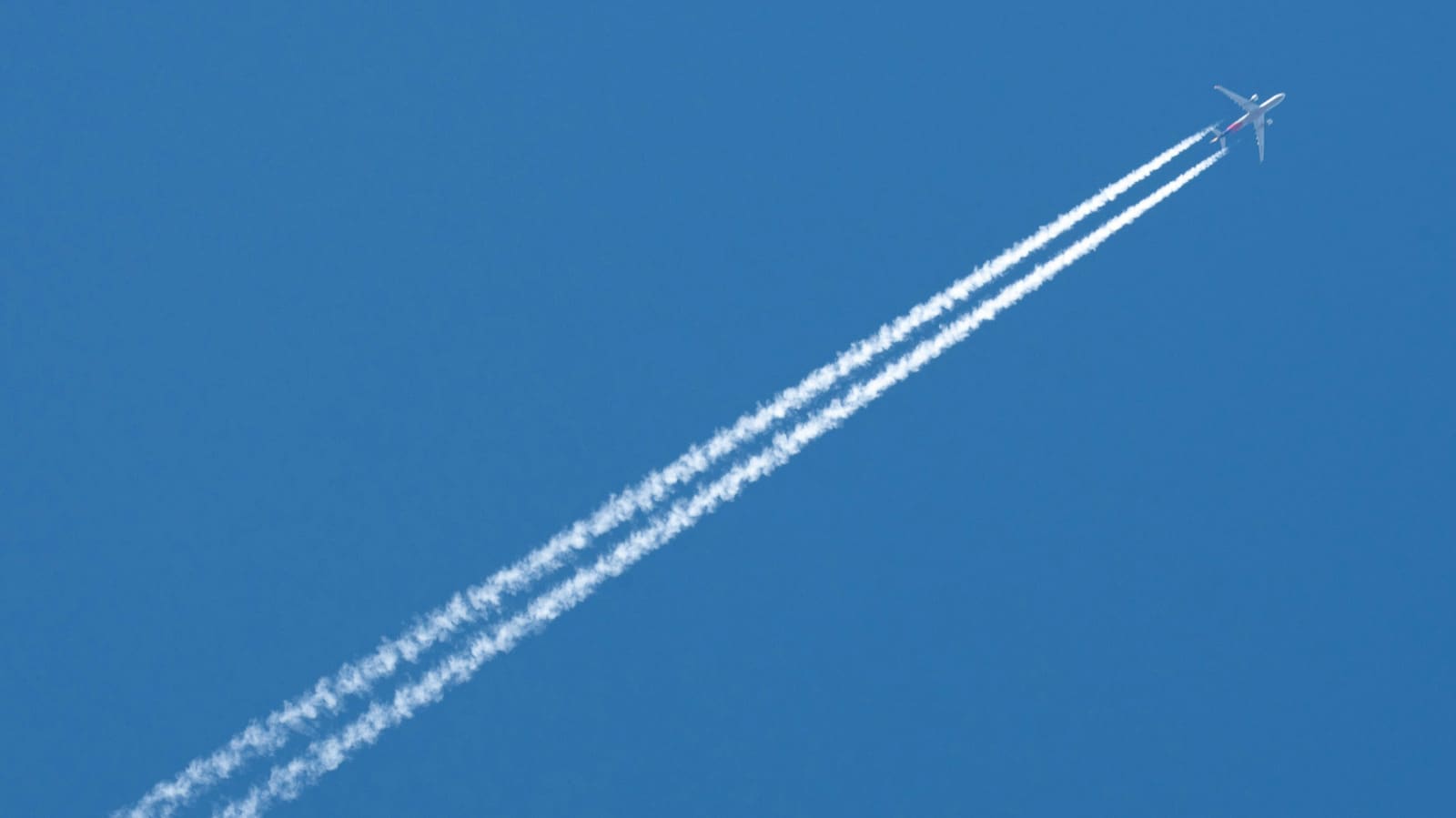
Every day, thousands of jets cross the northeastern Atlantic, leaving white streaks across the sky. These condensation trails, or contrails, form when water vapor in aircraft exhaust meets cold, humid air at cruising altitude. The vapor condenses, freezes, and lingers, sometimes for hours. What most passengers see as harmless wisps actually function as thin, high-altitude clouds that trap outgoing heat from the Earth's surface. Researchers now estimate that contrails contribute roughly one-third of aviation's total warming effect, a figure that has pushed the industry and governments to look for practical mitigation strategies.
Operation Blue Skies, a 30-month initiative set to begin trials this winter, will test whether machine-learning forecasts can guide pilots around the atmospheric zones most likely to produce persistent, warming contrails. The trial will take place over Shanwick airspace, a region above the northeastern Atlantic managed by the UK's air navigation service provider, NATS. Google is supplying AI-powered forecasting models and satellite analysis on a pro bono basis, contributing £1.4 million to the effort. The UK government is funding more than half of the project's £5 million budget, with additional participation from the Met Office, Imperial College London, the University of Cambridge, and Contrails.org.
At DailyTechWire, we've tracked the growing intersection of climate science and real-time logistics, and this trial represents one of the first large-scale attempts to operationalize contrail avoidance using predictive algorithms in live air traffic control.
Small Adjustments, Big Data
The trial will run over two consecutive winter periods, when cold, humid conditions make contrail formation most likely. Air traffic controllers will receive AI-generated forecasts identifying atmospheric regions where vertical flight adjustments of up to 2,000 feet could reduce or eliminate contrail formation. Out of approximately 10,000 flights expected to cross the trial zone each winter, only one to five percent will be rerouted. These adjustments will remain within normal operational parameters, meaning no significant delays or fuel penalties are anticipated.
Google's role centers on two capabilities: forecasting and measurement. The company's models ingest meteorological data, atmospheric humidity profiles, and temperature gradients to predict where contrails are most likely to form and persist. After flights pass through, satellite imagery and machine-learning analysis will assess whether the rerouted aircraft produced fewer or shorter-lived contrails compared to control flights that followed standard paths.
The measurement challenge is non-trivial. Contrails vary in opacity, duration, and warming potential depending on time of day, solar angle, and underlying cloud cover. Daytime contrails can reflect sunlight and exert a slight cooling effect, while nighttime contrails trap heat with no offsetting reflection. The trial's imaging and analysis pipeline will need to account for these variables to determine whether rerouting delivers a net climate benefit.
Why the Atlantic Matters
Shanwick airspace was chosen for operational and scientific reasons. It sits over open ocean, far from congested terminal areas, giving controllers more flexibility to approve altitude changes without disrupting arrival and departure flows. The region also experiences high transatlantic traffic volume and frequent meteorological conditions conducive to contrail formation, making it an ideal natural laboratory.
NATS will integrate the AI forecasts into its existing air traffic management systems, allowing controllers to issue altitude clearances in near real time. The trial's design emphasizes minimal disruption: rerouted flights will still comply with separation standards, fuel efficiency targets, and scheduling constraints. If the adjustments prove effective and scalable, the operational framework developed over Shanwick could inform contrail-avoidance protocols in other high-traffic corridors, including the North Pacific and European continental airspace.
From Lab to Cockpit
Earlier research and smaller trials have shown that AI-based contrail forecasts can identify high-risk zones with reasonable accuracy. Google has previously collaborated with American Airlines on a limited pilot program that tested similar rerouting strategies on select domestic routes. That effort demonstrated that altitude adjustments of 1,000 to 2,000 feet could reduce contrail formation by more than half on targeted flights, with minimal fuel cost.
Operation Blue Skies scales up that approach, introducing a regulatory partner, a multinational consortium, and a longer observation window. The involvement of the Met Office and two leading UK universities adds independent scientific oversight, ensuring that results are peer-reviewed and published regardless of outcome. This structure distinguishes the trial from purely commercial experiments and positions it as a potential blueprint for public-private climate mitigation efforts in other transport sectors.
The Broader Aviation Equation
Contrails are not the only lever airlines can pull to reduce warming. Carbon dioxide emissions from jet fuel remain the largest single contributor to aviation's climate footprint, and most decarbonization strategies focus on sustainable aviation fuels, hydrogen propulsion, and fleet electrification. But those technologies remain years or decades from widespread adoption. Contrail avoidance, by contrast, can be implemented with existing aircraft and infrastructure, provided the forecasting models are accurate and the operational costs are acceptable.
The trade-off is fuel. Flying at a different altitude often means flying in air with different density and wind conditions, which can increase fuel burn and, consequently, CO₂ emissions. The net climate impact depends on whether the warming avoided by eliminating a contrail outweighs the warming caused by the extra fuel. This calculation varies by flight, time of day, and atmospheric state, which is why real-time AI forecasting is essential. A static rule, such as "always fly 2,000 feet lower," would be counterproductive. A dynamic model that evaluates each flight individually has a better chance of delivering consistent climate benefits.
What Comes Next
If Operation Blue Skies demonstrates that AI-guided rerouting reduces net warming without imposing unacceptable costs, the next step will be regulatory integration. The International Civil Aviation Organization, the UN body that sets global aviation standards, has been monitoring contrail research but has not yet issued binding guidance. A successful trial over the Atlantic could accelerate that process, particularly if European and North American regulators coordinate on implementation.
The trial also raises questions about data sharing and model transparency. Airlines and air navigation providers will need access to high-quality forecasts to make real-time decisions, but those forecasts depend on proprietary algorithms and vast datasets. Whether Google's models will be open-sourced, licensed, or operated as a service remains unclear. The structure of any future contrail-avoidance system will need to balance commercial interests, operational sovereignty, and climate accountability.
For now, Operation Blue Skies offers a rare example of a climate intervention that is measurable, reversible, and testable at scale. The trial will not solve aviation's emissions problem, but it could provide a toolkit for managing one of the industry's least visible and most underestimated sources of warming.